

Landscape plan and property measuring software
Measure a property from an aerial view, build a scaled 2D plan step by step, and carry the quantities straight into the quote.
Aerial measuring covers US addresses. Plans can be finished on site.
Measure a property from above
Type the street address, pick it from the list and the map opens on the property. Choose what you are tracing (lawn, roof, planting bed, driveway, patio or walkway, or the whole property), tap each corner, tap the starting dot to close the shape and name it.
For a roof you pick the pitch, because a roof looks smaller from above than it is; the pitch gives the real roof surface and roofing squares. A running list shows each measured area and a total.
Save the result to a customer, as a new contact or on an existing property, then print it or save the report picture. The measurements appear on the customer’s page under Work.
- Measure each area separately so you can price them separately.
- Zoom in before tracing curves for a closer fit.
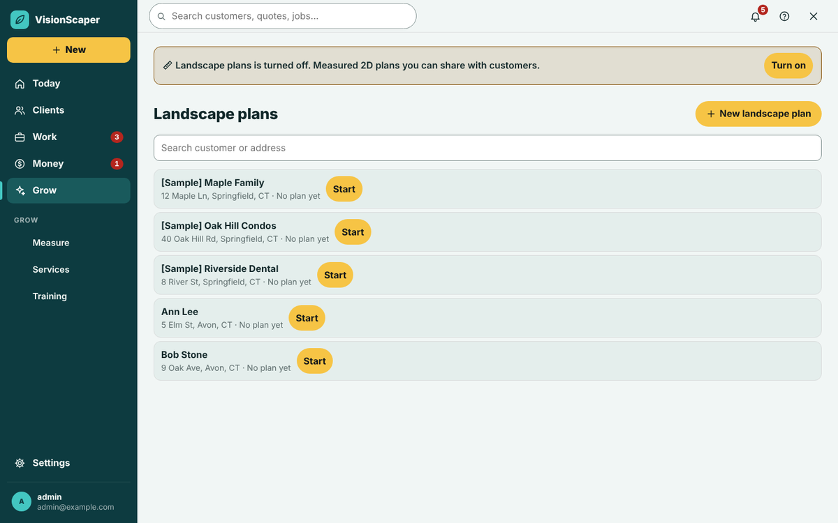
The 10-step measured landscape plan
- Customer and property Pick or add the customer and the full property address.
- What to plan Choose front, back and side yards, and the kind of job: new landscape, renovation or a plants-and-mulch refresh.
- Bird’s-eye base map Load the aerial view and centre the house.
- Trace the property Tap the corners, or let AI try to find outlines if AI is on, and drag any dot that is off.
- Check the scale Check it against one tape measurement. Skip it and the plan is marked less accurate.
- Site photos Take guided photos of each area, and say why if you cannot reach a spot.
- Site details Record hardiness zone, sun, deer, drainage, irrigation, HOA and what to keep.
- Style Pick a style card; each shows how many library plants fit the site.
- Designs Add optional designs for each area.
- Generate and review Fix anything marked as missing, generate the plan, then drag items to adjust it in the editor.
Check the scale with a tape measurement
A plan is only as good as its scale, so the wizard asks for one real measurement.
Pick something flat
The driveway width at the street is ideal. A survey from the closing papers or the town hall gives the most accurate property lines.
Draw the tape line
Draw it on the map and enter the real length. If the plan looks the wrong size later, redraw the line.
Call 811 first
The final summary reminds you to call 811 before digging.
Quantities that carry into the quote
On the quote from the plan, tap Use the Landscape plan’s quantities. The takeoff turns shapes into quantities of material and hours of labor. A bed becomes prep, mulch or stone and edging along its perimeter. A lawn becomes sod by the pallet or seed. A patio becomes excavation, base, sand, pavers, edge restraint and labor. Plants are counted by type.
Mulch is the clearest example. The takeoff takes the bed area and depth, converts to cubic yards, adds a waste percentage, rounds up in half-yard steps and adds delivery and labor. The scope text it writes states the area, depth and quantity.
The quantities come from the geometry, never from AI. Unit costs, waste percentages and hours per unit come from your price book, and any line without a price is flagged. Shapes marked existing are reference only. Check every quantity and price before you send, then schedule the job when it is signed.
Take the plan to the site and finish it there
The wizard saves as you go, on the device and on the property, so a plan started in the office can be finished in the yard. The screen estimates about 15 minutes in the office and 10 on site.
Plan or photo? A measured plan answers how big, how much and how many. A picture answers what it will look like. Many firms use both: a plan to build from and a picture to sell with. For the picture, design on a photo, or try the designer yourself.
- Hold the phone sideways at chest height and move cars and bins out of the shot.
- Generate again replaces changes you made in the editor, and asks first.
Where aerial measuring works
Aerial measuring works for US addresses. Connecticut uses 3-inch state imagery, other places use USGS imagery, and the site owner can point it at a different provider. Measured from above, sloped ground is a little larger in real life and trees can hide edges, and imagery is only as recent and sharp as the provider makes it.
If the aerial is missing or the address is not found, the wizard offers other ways to measure, or you can measure on site. Typed measurements for lot and house dimensions suit square lots only. The Landscape plans tool depends on your plan and can be switched on or off in settings.
Questions about measuring and plans
Not to get started. You trace areas on an aerial view, then confirm the scale with one tape measurement and take site photos when you are there.
No. Quantities come from the shapes on the plan. AI may help trace outlines or word text, but not count material.
Aerial measuring is for US addresses. Elsewhere you can measure on site.
Recheck the scale and redraw the tape line. The plan is marked less accurate if you skipped that step.
Yes, drag items in the editor. Generating again replaces those edits and asks before it does.
Keep exploring
Landscape design software that works on the customer’s own photo
Design on a photo of the customer’s own yard with an East Coast plant library, true-scale growth over time…
Landscape quoting software that starts from the design
Build landscape quotes from a design, a measured plan or a site visit. Use your price book, add e-signature and…
Landscaping scheduling software for crews and site visits
Schedule crews, book site visits and follow every landscaping job from signed quote to finished work, with…
Measure once and quote from the numbers
Start your free trial, measure a real address and take it into a quote.